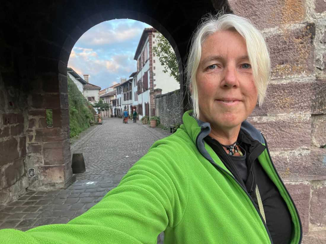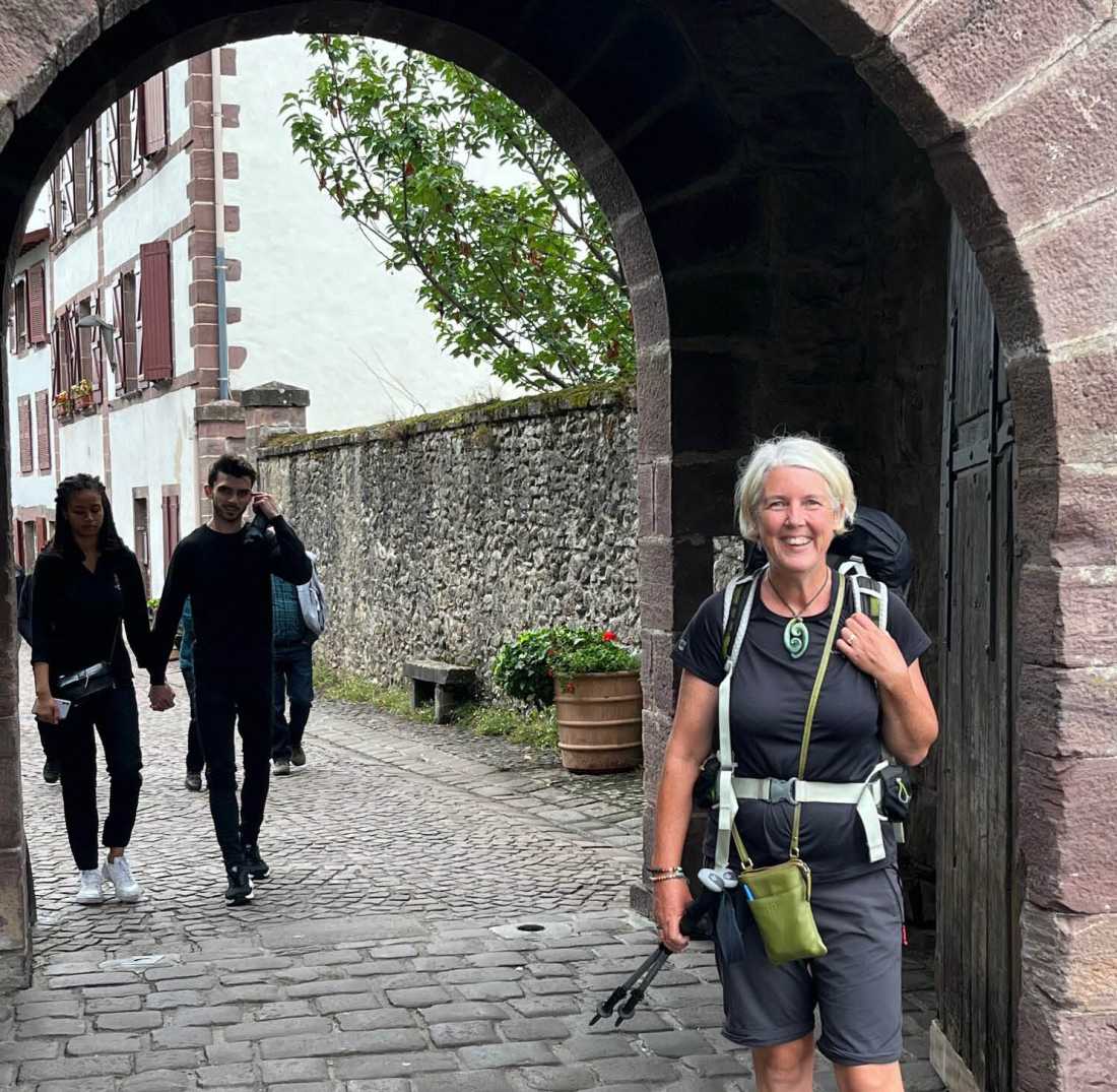
Judy & Barbara ride Hadrian's Cycleway
A couple of adventurous women from New Zealand, Judy and Barbara, decided to take on
Hadrian's Cycleway, an immersive bike ride through northern England. Judy has written a detailed, day by day Traveller Tale of their journey which is highly useful for future travellers.
Key takeouts:
- Judy and Barbara chose to use the N72 route map on their phone to navigate the route together with the trail markers. UTracks provides GPS tracks to follow the route which, once downloaded, can make route finding a breeze. In 2025 our navigational app will make it even easier.
- The route can be overgrown at times. Wearing long pants to protect from nettles is recommended.
- The trail surface is variable from asphalt to dirt, sand and rocky tracks. A good level of cycling ability is required.
- Adding an extra day on the itinerary at Vindola is highly recommended to visit the Roman Fort with its archaeological dig and museum and to visit and The Sill, home to the UK’s National Landscape Discovery Centre.
- A stop at Grant's Cafe and Bakery in Corbridge is well worth it.
- Even if you are tired from a days cycling it is still worth taking the ferry across to Southshields and bike to the Arbeia Roman Fort, the official end of the trail.
Read on for their in-depth account of their experiences cycling along the remains of Hadrian's Wall, as written by Judy Patterson.
Day 1: Ravenglass to Whitehaven
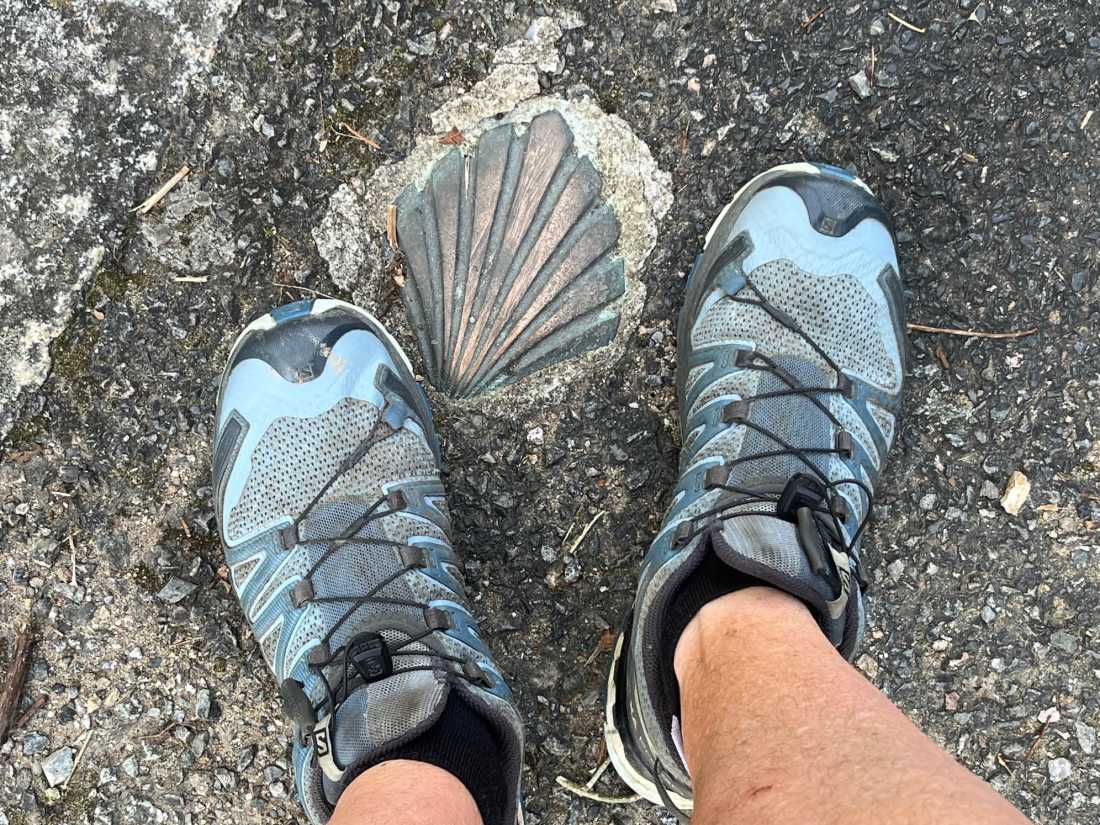
Today we had our first day of riding on Hadrian's Cycleway, starting at Ravenglass. It's the N72 and it variously becomes the Coast to Coast (C2C as it appears on the trail signage) or the English Coast Path. Seems that we might have completed both by the end of this trail. There are other symbols of the trail, too, one being a Roman soldier's helmet and another an acorn. The helmet is understandable but yet to find out about the acorn [Editor: the acorn is the waymarking symbol of National Trails in England].
Today's ride had so much to it. We were delivered with our hire bikes by Darren to the start point in Ravenglass at 10am. I wondered what we were in for when, in the first 50m, we were pushing our bikes along a narrow cantilevered timber path attached to the rail bridge followed by a narrow pathway with blackberry on both sides. There was every surface to contend with over the 25 miles including soft sand, concrete path, small concrete pavers, plastic webbing, grit, rubble under a bridge and tar seal. The challenging section was just north of Seascale where the soft narrow sandy path was so overgrown with long dune grasses that we had to push our bikes through it. But then the long downhill tar sealed section into Whitehaven was a dream.
We passed through some pretty interesting places, too.
Seascale has a very long beach, one of the longest in England, apparently. The name Seascale is thought to be derived from the Norse word Skali which means 'hut' or 'shelter by the sea' as the town has Nordic settlement history. The tide was way out, we were wearing two windbreakers to keep out the cold as the temperature was only 15C, and a couple of people were in swimming.
Just to the north of Seascale is Sellafield (formerly Windscale) a large nuclear establishment going back to the 1950s. The high fences with barbed wire rolls on top had signs saying 'No drone zone' with a picture of a drone crossed on it. But the scariest sign was on a section of the trail just past Sellafield. It read "Armed Police patrol this area at unpredictable times." What do you do when you read a sign like that? Bike very fast to get away from it!
We passed through a village called Drigg, one of the oddest names I've heard. In a later conversation we were told that Drigg was where the Foot & Mouth outbreak of 2001 was most severe. Some 6 million animals were destroyed countrywide in that outbreak with thousands affected in Drigg. It is such lovely countryside in this area with new animals grazing everywhere but it has a tough past.
While some of the trail gave lovely views, at other times we were riding along tree lined or hedgerow lined trail. It was really varied.
When we reached Egremont we stopped at a supermarket for supplies. Everywhere else the trail signage has been good but on the way out Egremont the signs took us in a loop. It was spitting with a very light rain so we weren't impressed.
While we stood looking at two of the trail maps on a notice board a guy came up and asked if he could help. He was a Phys Ed teacher at the local college and had been out on his bike checking the kids on the annual charity fun run. He asked where we were from and on hearing, he said, "oh, you're Kiwis" and proceeded to tell us about a cousin who he didn't know he had turning up on his doorstep from Christchurch. Apparently a woman in his wider family had disappeared to Ireland some 50 years then migrated to NZ. He was rapt to get to know this cousin and hear about her family tree (and his).
Day 2: Whitehaven to Silloth
This day can be best summarized in three words: weeds and wet. Oh, and dogs, too, so four words. It's Sunday and literally every man and woman and their dogs were on the paths, far more than cyclists. Wet or not, they were everywhere. And, people take notice of the bell being rung, which Hamilton walkers don't.
The trail from Whitehaven followed the coast for a little while before heading inland through a few clusters of houses in little villages and fields of grain, or paddocks already mowed for hay. The trail was sealed and ran through groves of trees, well overgrown since the trail was once a railway line.
Ar Workington the trail took us out to the port, not the trail we wanted as there was no bridge to get us across the river mouth. So, we backtracked a couple of kms and picked up the right trail. By this time it was misty raining and we had to go through a pathway that was overgrown with weeds. Yellow and white petals clung to us and the bikes after the brief time on that pathway. We got to the right bridge and had to heft our bikes up 12 steps. Not easy when they are e-bikes.
The paths were mostly tar-sealed but are often overgrown with weeds and long grass and when they pass through a farmer's property there are often gates to open and close. A mid-season cut with a weed-whacker would certainly be appreciated by cyclists. There are generally no shoulders on roads, either, so the long grass and roadside weeds can be a pest, especially when they are nettles.
We'd planned to stop at Maryport for lunch and to view the remains of the Roman fort but it was pretty wet by then so we biked on. Maryport has a very long promenade, between 2 and 3 kms, and this was such good biking with the sea and a very low tide on one side. The beaches stretch for miles in places along this coast and in places the paths were labelled "High tide route". We didn't get to do any low tide routes but wondered if they were more for mountain bike riders.
By Alonby we were back on the coast. In fine weather it would be a picture but it was still misty raining and we were pretty wet and cold so biked on, having liked the beach side path and the wide stretches of beach at low tide.
After winding our way through weedy paths and narrow roads we were relieved to arrive in Silloth, another town with a big promenade. We hope it's fine tomorrow so that we can see it in the sunshine.
After two days we have become very good at scanning for the direction signs as they are only about 12cm high and 30cm wide at the point. They are often obscured by weeds and long grass so we have to be on the alert.
Day 3: Silloth to Carlisle via Bowness on Solway
We were grateful for a nice fine day after yesterday's rain so were able to enjoy a ride along the quite amazing Silloth promenade. Different from Maryport's promenade, Silloth's was a series of steps down to the water's edge. Built in different sections, the promenade had to be at least 2.5km long. It's great for biking and walking with many people out with their dogs. There's a light house still functioning at one place on the promenade.
The N72 cycle route took us out through country roads which carry little traffic. It certainly makes for easy riding. Just have to listen for, and give plenty of room to, tractors and farm machinery as they are moving around at present.
The tiny little village of Abbeytown had a huge old church at its centre, a church which would be twice the size of St Peter's Cathedral in Hamilton. There were lots of gravestones there, too. Life would have been centered around the church 200 years ago.
We biked past fields of maize and wheat, but few paddocks had animals grazing. They are in barns, poor animals.
Bowness on Solway marks the beginning of Hadrian's wall. While parts of the Roman fort remain, this one called Maia, nothing of the wall remains as some of it was built of earth. There's a little pavilion on the water's edge that marks the start of the wall.
The trail goes for some miles along the Firth of Solway. The Firth is very wide and the edges marshy. One of the old churches we visited, building of which commenced in 1102, housed the body of Edward 1, after he died in the marshland and before he was taken south. At one stage a fortress tower was added to the church to offer refuge from battle. The vicarage was built on the roadside with one end the wall of the churchyard.
Carlisle is a big city, with large sections of the wall still evident. On the way in we passed Carr's biscuit factory. We buy Carr's water crackers in our supermarkets. All the way from Carlisle!
We've been using the N72 route map on the phone but it doesn't seem to show all streets so we had a few misturns on trying to get to our BnB. Locals can be very helpful and this happened in Carlisle. A chap on his mini bike and his wife on a Lime scooter took us to the best route and set us on our way. So easy when you know how.
Day 4: Carlisle to Haltwhistle via Birdoswald
The day began in fine weather, with some rain forecast.
Off we went over the bridge near the castle and through Rickerby Park along the river. Part of it is a farm park so there are animals grazing. It was lovely, weaving through the trees until... the N72 sign pointed right. Except that there was another sign on the back of the post for cyclists coming the other way, pointing the way we should have gone. After crossing the river, visiting a golf course and negotiating some busy streets, we revisited the Google maps path and discovered we had to retrace our steps. There was the arrow. So, the resolve is to stop and check any doubtful places.
We were quickly out of Rickerby Park and into lovely countryside, travelling through Rickerby village with its impressive houses. It was nice riding on the country roads, seeing some very grand old houses, some abandoned big houses and lots of old buildings likely made from stone recycled from Hadrian's stone. We cycled through a little village called Lower Crosby and Crosby on Eden. The church had an unusual spire and windows not seen elsewhere. One very ornate tombstone commemorated the life of an early Minister who died in 1804.
As we moved further east the countryside became hillier. And we had a shower of rain, too, which had us standing under a tree for nearly 30 minutes. It was the one section of the trail today which was on a more major road so we would have been showered by passing trucks as well as showered from above.
The trail went past Brampton, Lanecost Priory and Banks as we climbed up the Pennines and where the views out over the countryside were extensive from the remains of a fort on the wall.
After some hill work, assisted by Turbo, just one hundred metres from Birdoswald, a Roman fort, we were delighted to stand on Hadrian's Wall for the first time. It's an amazing feat of engineering, built 2000 years ago, up hill and down dale, as undulating as the countryside. If it hadn't been raided for building materials for houses, barns and farm fences over the centuries it would likely be close to its original state.
After the uphill climbs, there's the fun of downhill as we travelled through Greenhead and into Haltwhistle.
The Old School House BnB we stayed at is hosted by Ian and Kate. Their former sister-in-law returned to NZ to live and her two daughters followed. Ian and Kate said one of the nieces had graduated from Police College and he thought she was based somewhere near Hamilton. An overnight question to a friend found that the niece is in the Hamilton station. Small world.
And, if you are contemplating a trip to Vindolanda, The Sill, The Roman Army Museum and Sycamore Gap on Hadrian's Wall, all are so accessible from the Old School House BnB in Haltwhistle. We recommend the hosts.
Day 5: Haltwhistle, Vindolanda and The Sill
We'd added an extra day to our itinerary so that we could spend time at Vindolanda and The Sill. This really paid off as the site of a Roman fort which is still under archaeological digging offers much interesting history and many fascinating stories. Vindolanda offers free guided tours every hour and this tour was an excellent introduction to the site. The back story about the purchase of the farm Vindolanda is sited on and the dedication of the Birley family to bring the story of the fort to public awareness is worth knowing about.
The Museum of Vindolanda holds so many artifacts that have been preserved under nine different layers of rebuilt forts and then unearthed in recent years that one can see how clever and progressive our ancestors were. The awl I have in my toolbox is a replica of the 2000 year old one which is on display at the museum. The greatest number of shoes and sandals from any dig has been unearthed at Vindolanda and many are on display. The wooden combs are precisely made.
The Sill is a short walk from Vindolanda and explores the way land has shaped our settlement as communities and in turn how we have interfered with the balance of nature. One example presented was that in earlier years we had little understanding of how important bogs and marshes are to ecological balance. The Sill exhibition explores how it's important to maintain current bog land and to do what's possible to restore it. Oh dear, can't see restoration of the Hauraki wetlands happening.
The Sill is a 'must visit' as is Vindolanda.
Day 6: Haltwhistle, Sycamore Gap to Hexham
We cycled the 6 miles out to The Sill from Haltwhistle where we parked the bikes and walked the 15 minutes to the start of this particular section of Hadrian's Wall because it's the location of the famed Sycamore Gap. It's so named because of the 200 year old Sycamore tree which has frequently won the "Best tree in England \Europe award" and would be the most painted and photographed individual tree ever.
That's until September 2023 when, on the wildest stormy night of the year, a couple of guys walked in with their chainsaws and cut it down. England was stunned, outraged and saddened by the action. It was even on the news in NZ. Everyone keeps asking why. One story reports that one of the guys had been sacked from the National Trust and this was his revenge. The locals know who they were and have shunned them. They are before the Court and sentencing takes place soon.
The walk starts with a staircase of stones up onto the escarpment which affords great 360° views. The uptilt of the land provided Hadrian with a perfect place to build the wall because the cliff on the northern side was so steep it would keep the Scots out anyway. It's an easy path alongside the wall, with one downhill and uphill before the very steep downhill stone staircase to Sycamore Gap. It was 11am and there were already 30 people around about. Everyone commented how sad it was that the tree had been cut down.
We took the low, easier path back to the start point because we had some 15 miles to bike to Hexham to come.
From The Sill to Sycamore Gap and back to The Sill took us about two hours, and it was easy.
The trail took us around the side of Vindolanda and high onto the hills above and from there the trail went downhill in almost a straight line for some six miles of lovely countryside. The path then variously followed the railway line, the river, paths through a golf course and quiet back roads. It's easy riding now as the Pennines are behind us.
The old town of Hexham is on a hilltop and houses a huge abbey and old stone buildings and steep streets, many still cobbled. We stayed at the County Hotel on Priestpopple. Hard to know where that name came from but that's how it's named. No Street, Road or Avenue, just Priestpopple.
Day 7: Hexham to Tynemouth. The end of Hadrian's Cycle Way and the C2C
The challenge of getting out of larger towns is hooking onto the N72 (Hadrian's Cycleway) from the accommodation. The locals always know so we make a point of checking as we start out.
This morning a woman told us that we must stop at Grant's Cafe and Bakery in Corbridge on the way through as they are award winning pastry chefs. It was a 4 mile ride away so we'd be ready for coffee by then.
On the ride through this area we saw the first fields, and more fields, of plantings of broadbeans. Just like grains and maize, they were planted extensively. Never seen it anywhere on our cycling. Into Corbridge we passed over a seven-span single lane medieval stone bridge completed in 1657. While pushing our bikes across we had a chat with a visiting Irish couple who told us we must have coffee at Grant's and enjoy a pastry. Amazing - two totally separate recommendations in the space of a couple of hours. So, we did, of course.
Grant's is on the corner of the village square and is very popular. Why bother baking when you can get such treats a few doors from home? The coffee was pretty good, too, which was a nice change as so many cups of coffee we've had have been very disappointing.
The long trail into Newcastle began soon after Corbridge. Sometimes the signage was good, other times a mystery to solve. At one point we were fortunate to spot an overgrown zigzag stile behind a bus stop which took us onto the trail into Newcastle and beyond. Once we were through the numbers of 'spaghetti junctions' along the outskirts of Newcastle we got onto the long riverside promenade leading into the central city. It's been well designed and planted and is certainly well used. Nearer the city centre there are lots of riverside cafes and bars. It was so good to bike along the riverfront.
On stopping to check the next step we were horrified to learn that Tynemouth was another 10 miles further on. By now it was 3.30. Fortunately, much of the trail was on a tree-lined pathway so we were spared the ugly industrial nature of the riverside for much of the way. One nice part was biking around a big marina lined with lovely terraced houses. There were scruffy parts of the city we'd had to pass so this was a pleasant change.
In order to genuinely complete Hadrian's Cycleway one has to take the ferry (also labelled N72) across to Southshields and bike to The Arbeia, the Roman fort. It was 5.30 and we were pretty tired by this time. I was almost ready to forego this step when I saw a woman on a laden bike come out of the side street leading to the ferry. She said, yes, she'd just come off the ferry, so we turned sharply and wound our way onto the ferry, only to be told off over the loudspeaker for biking on the ramps. Still, we'd caught the ferry for the seven minute ride to Southshields.
The town reminded me of Manly in Sydney, but Manly doesn't have a Roman fort or market square so the difference ends there. It's as busy and buzzy as Manly, though.
After the appropriate photos we made our way back to the ferry, only to see the gangplank being raised and the ferry ready to leave. In our haste to make the ferry we had ridden down the jetty - again! And, again, over the loudspeaker we heard, "Please have the courtesy to follow the rules and not ride on the jetty." Oh, dear, sorry!
Fortunately there was a dockside bar, brimming with holiday makers so we joined them and had a celebratory zero beer. We had completed Hadrian's Cycleway and the C2C. Well done, the old girls!
We arrived at our BnB, 61 Front Street at Tynemouth at 6.30. Front Street is the very busy main street of Tynemouth so I'm not sure if the host was looking out the window, wondering where we were or whether he was checking out the happenings at the many restaurants, cafes, bars and fish and chips shops along the street. The latter, I think.
So, that's the adventure of Hadrian's Cycleway. And a great adventure we have had with lots of interesting places visited and explored, lots of people chatted with and lots of pedalling to get us from one town to the next.
Till next time.....
Big thanks to Judy Patterson for her detailed account of their cycle journey in England. We're looking forward to learn of her future travels!
Have you been on a cycling tour of the UK before? Where do you want to explore by bike? Let us know in the comment section below.